Weather checks for drone flights
UAV Forecast for Drone Pilots brings the main conditions for a planned flight into one place. It is aimed at recreational and commercial drone operators who want to check whether the weather and surrounding conditions fit their aircraft and location before heading outside. The app is also useful for paraglider and paramotor pilots.
Conditions that matter in the air
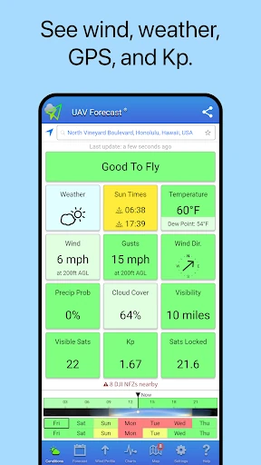
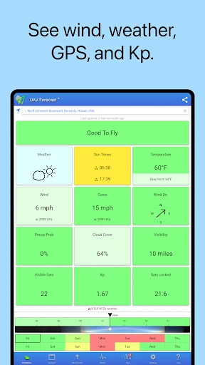
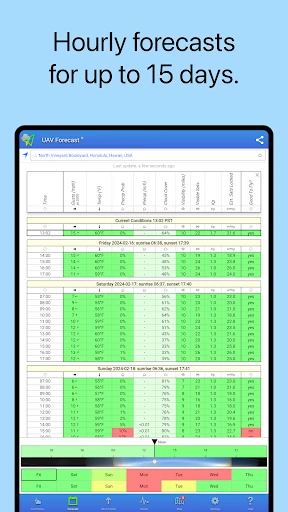
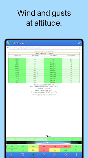
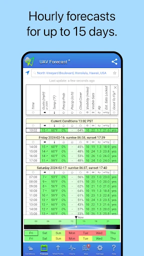
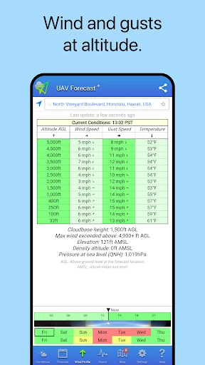
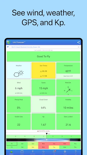
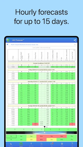
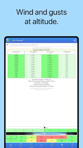
Forecast information includes local wind and gust speeds, with readings available at ground level and at selected altitudes. You can review hourly conditions across forecasts reaching up to 15 days. The app also shows GPS satellite availability, including Galileo and GLONASS data, along with the solar Kp index, which can help pilots keep an eye on factors that may affect positioning and radio conditions.
A quick way to read a forecast
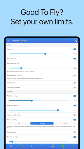
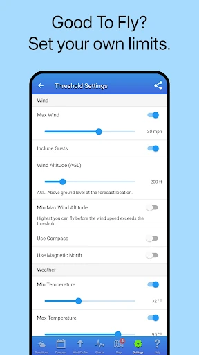
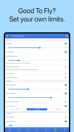
UAV Forecast analyzes conditions against configurable limits and presents the result with a simple color system: green indicates conditions that meet your settings, while red signals that they do not. Thresholds can be adjusted to suit your aircraft, experience, or operating plans rather than relying on one fixed standard. Location search and favorite locations make it easier to compare regular flying spots.
Useful planning details
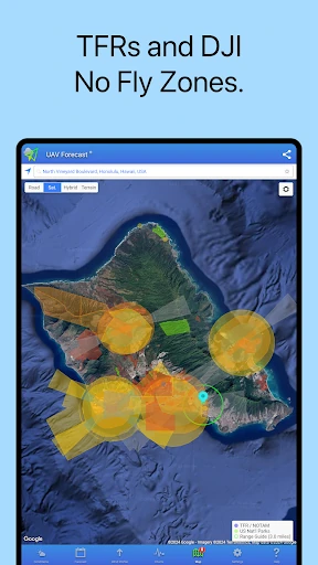
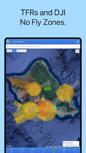
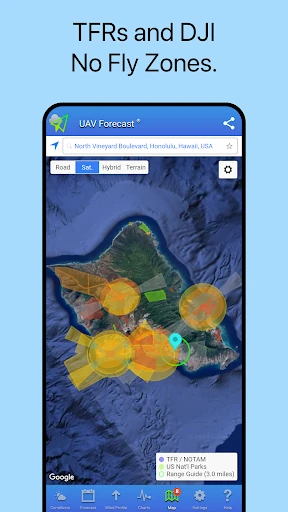
The app includes information on no-fly zones and flight restrictions, helping you add airspace checks to your weather review. Light and dark themes are available, with automatic switching tied to sunrise and sunset, and the layout supports tablets as well as phones.
- Developer: Good To Forecast
- Category: Weather
- Rating: 3.92 from 16,660 reviews
- Installs: 1,000,000+